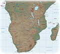
Map of Madagascar
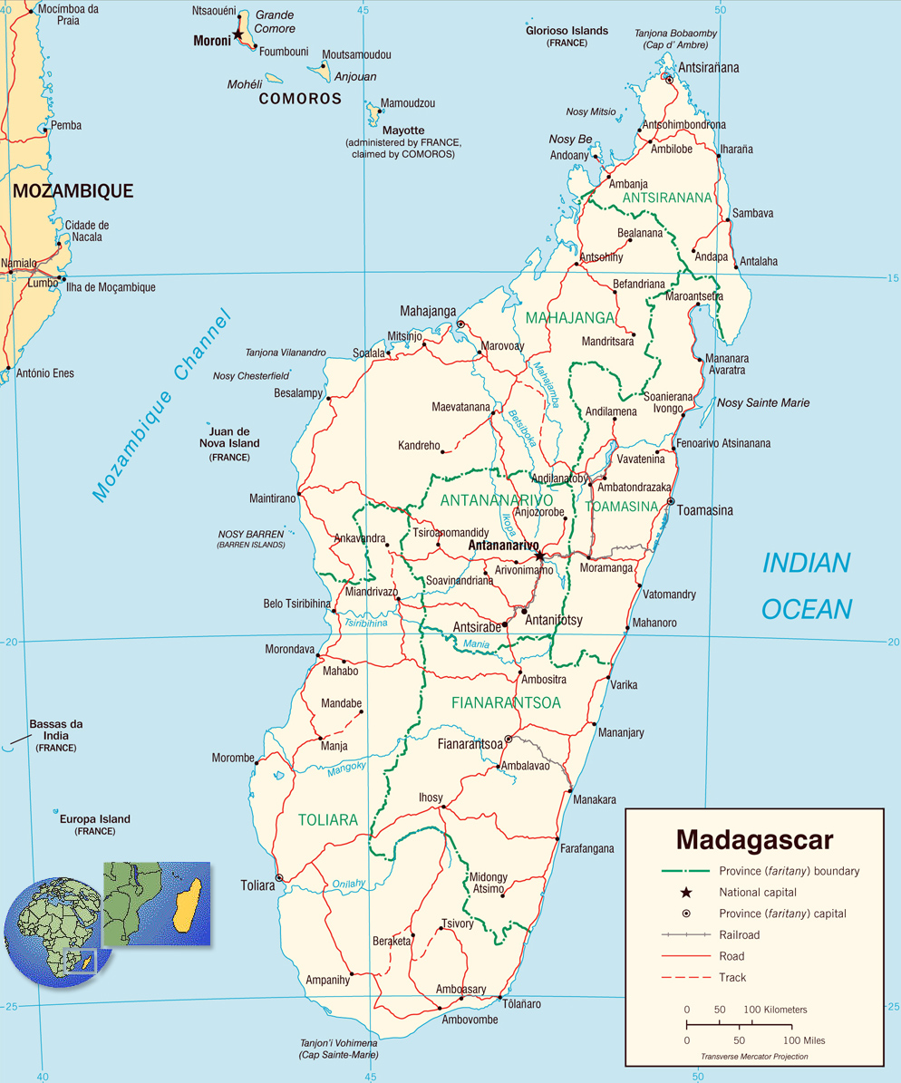
Transportation Map of the Madagascar Island, with administrative divisions, roads, railroads and major cities, made by CIA, 2003.
The Republic of Madagascar is an island country in the Indian Ocean that includes the island of Madagascar and numerous smaller peripheral islands. Lying off the southeastern coast of Africa. It is the world's fifth-largest island in the world, after Australia, Greenland, New Guinea and Borneo. Its capital and largest city is Antananarivo.
The written history of Madagascar began with the Arabs, who established trading posts along the northwest coast by at least the 10th century and introduced Islam, the Arabic script (used to transcribe the Malagasy language in a form of writing known as sorabe), Arab astrology, and other cultural elements.
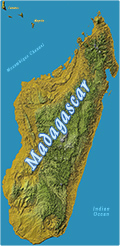
Map of Madagascar
Transportation Map by CIA 2003.

|
Copyright © Geographic Guide - Travel the World, African Continent. |
