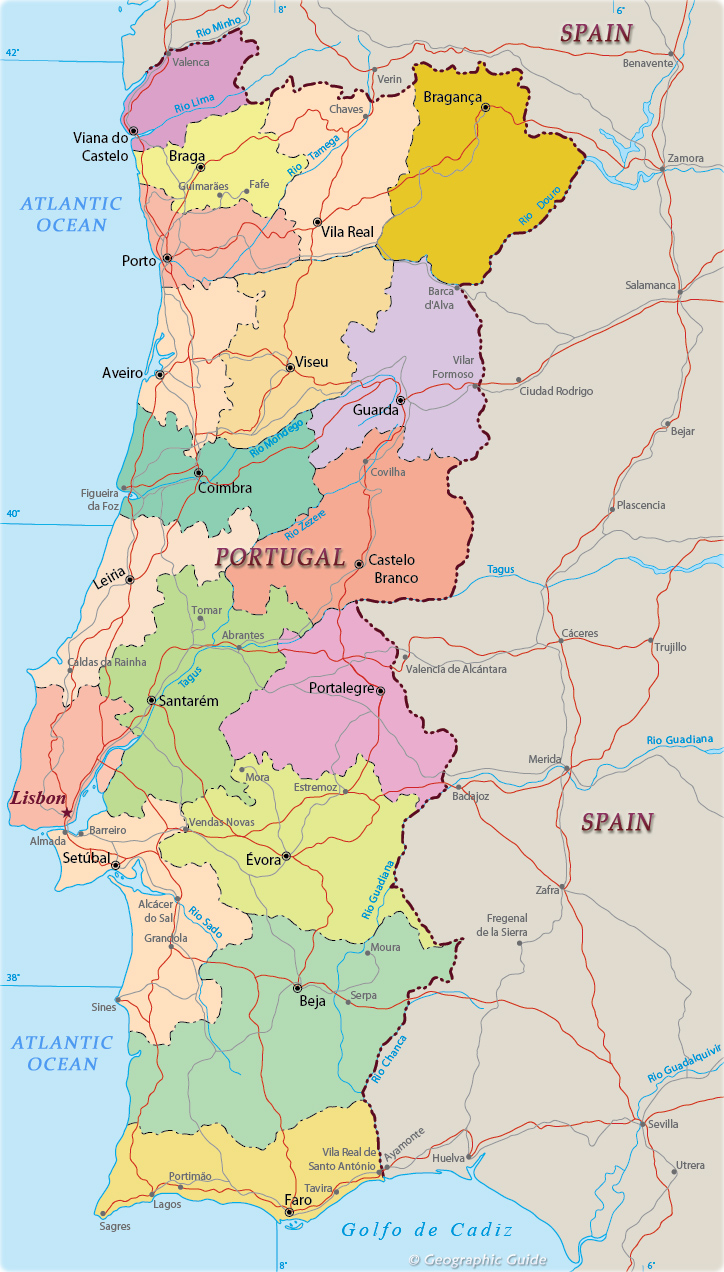
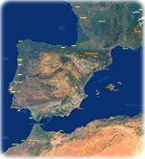
Portugal - Political Map
The Portuguese Republic is a state in Southern Europe, founded in the 12th century. The mainland is located in the extreme southwest of the Iberian Peninsula, bordering on the north and east with Spain, and on the west and south with the Atlantic Ocean.
Portugal is politically divided into 18 districts on the mainland and two autonomous regions: Azores and Madeira. It is subdivided into 308 municipalities and 3,091 parishes. The districts are: Aveiro, Beja, Braga, Bragança, Castelo Branco, Coimbra, Évora, Faro, Guarda, Leiria, Lisboa (Lisbon), Portalegre, Porto, Santarém, Setúbal, Viana do Castelo, Vila Real and Viseu.
|
Copyright © Geographic Guide - Maps World, Iberian Peninsula. |
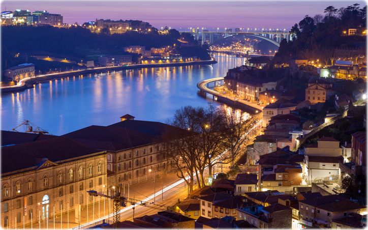
The historic city of Porto on the northern coast of Portugal.

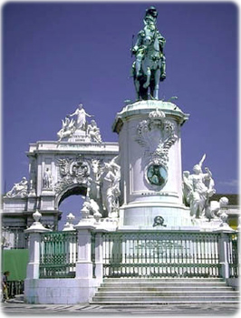
The historic Praça do Comércio in Lisbon.
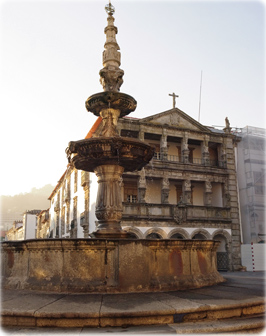
Viana do Castelo.
Portugal - Political Map
© villorejo - Fotolia.com
Dinozzaver