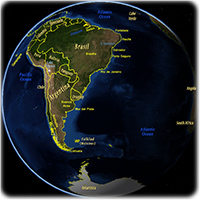
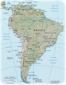
South America in the Globe
South America is the southern part of the American Continent, the birthplace of the name "America", published for the first time, in 1507, by German cartographer Martin Waldseemüller.
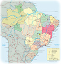
Brazil is the largest country in the region.
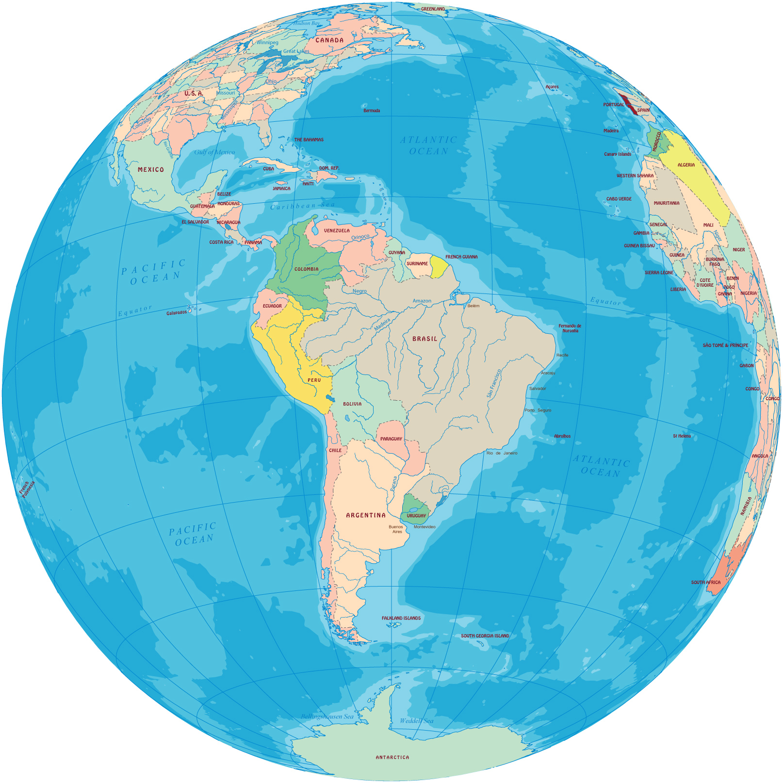
South America is roughly triangular in shape and most of it is in the southern hemisphere. It is almost twice as big as Europe and represents about 12% of Earth's total land area. Isla Grande de Tierra del Fuego is the largest island in South America.


|
Copyright © Geographic Guide - Maps World, American Continent. |
South America in the Globe