Political Map of Central America and The Caribbean
Copyright © Geographic Guide - Maps of World. American Continent.
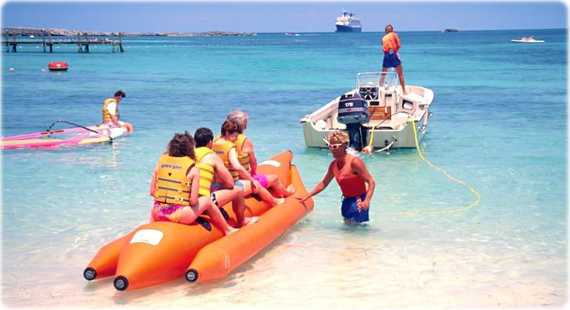
Raft in Coco Cay beach, The Bahamas.
◄ World Maps
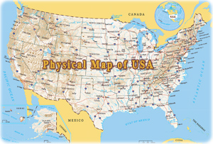
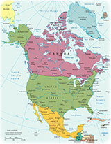
◄ North America