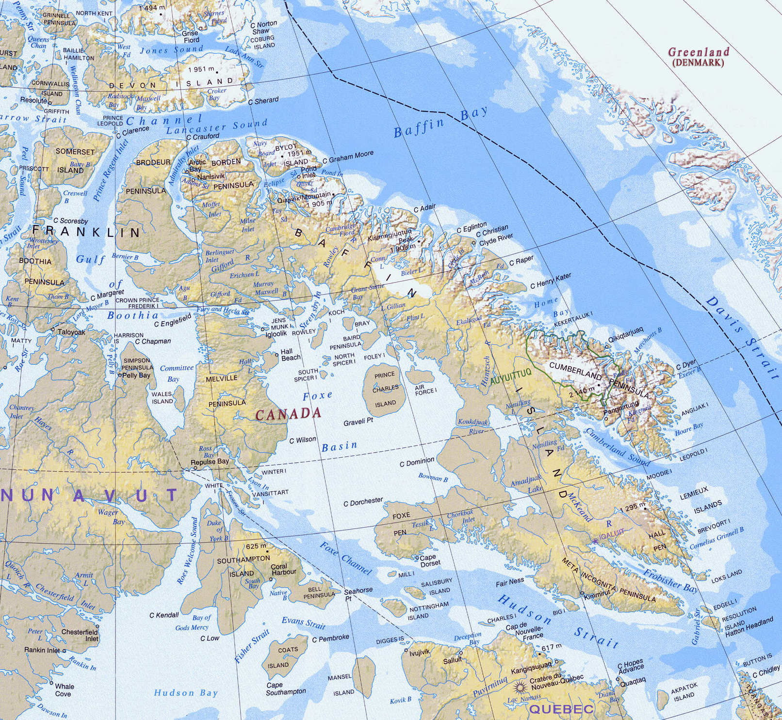
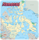
Map of Baffin Island, Nunavut - Canada

This is a fragment of the Relief Map of Canada from the National Atlas of Canada printed in 1998.
Baffin Island is part of the Territory of Nunavut, established in 1999. The island was first discovered by Europeans in 1576 and it was named for William Baffin, a 17th-century English navigator. The Inuktitut name for the island is Qikiqtaaluk, which means "very big island". It is the largest island in the Arctic Archipelago and it is indented by numerous fjords. Iqaluit, the capital of Nunavut, is located on the southeastern coast of the island.
Baffin Mountains run along the northeastern coast of the island and are a part of the Arctic Cordillera. The highest peak is Mount Odin. The two largest lakes are Nettilling Lake and Amadjuak Lake.

Sled dog tour, Cumberland Sound - Baffin Island.
|
Copyright © Geographic Guide - Maps World, North America. |
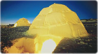
Igloos in Iqaluit, Baffin Island.
Map of Baffin Island, Nunavut - Canada