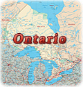
Maps of Canada
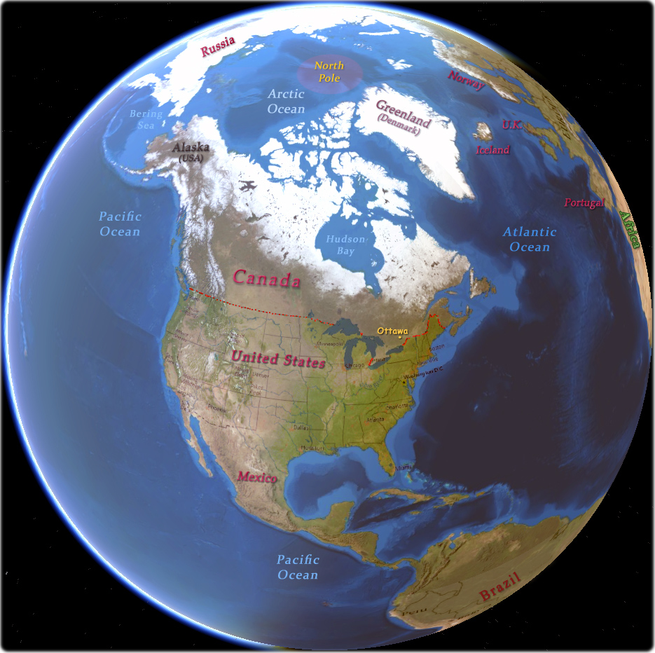
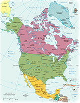
Canada is the second largest country in the world in area, after Russia. It occupies the northern part of North America and is sparsely populated. In 1867 the British North America Act created the Dominion of Canada. It became self-governing within the British Empire in 1931 and full legislative independence was achieved by 1982, when Canada obtained the right to amend its own constitution.
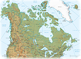
Canada has three ocean borders: the Pacific Ocean in the west,
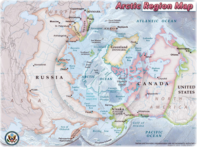
the Atlantic Ocean in the east and the Arctic Ocean to the north. Canada borders
the United States in the south and in the
northwest. The country has many different types of landscape, including many
rivers and lakes, high mountains, prairie grasslands, different types of forests
arctic tundra, where the ground is permanently frozen.
Canada can be divided into seven physiographic regions: the Canadian Shield, the interior plains, the Great Lakes-St. Lawrence Lowlands, the Appalachian region, the Western Cordillera, Hudson Bay Lowlands and the Arctic Archipelago. The country is geologically active, having many earthquakes and potentially active volcanoes, notably the Mount Meager massif, Mount Garibaldi, Mount Cayley, and the Mount Edziza volcanic complex.


◄ Canada

|
Copyright © Geographic Guide - Maps World, Maps of Canada. |
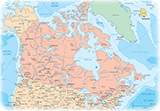
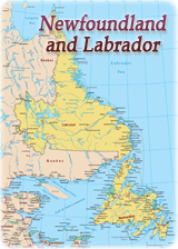
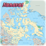
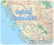
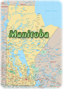

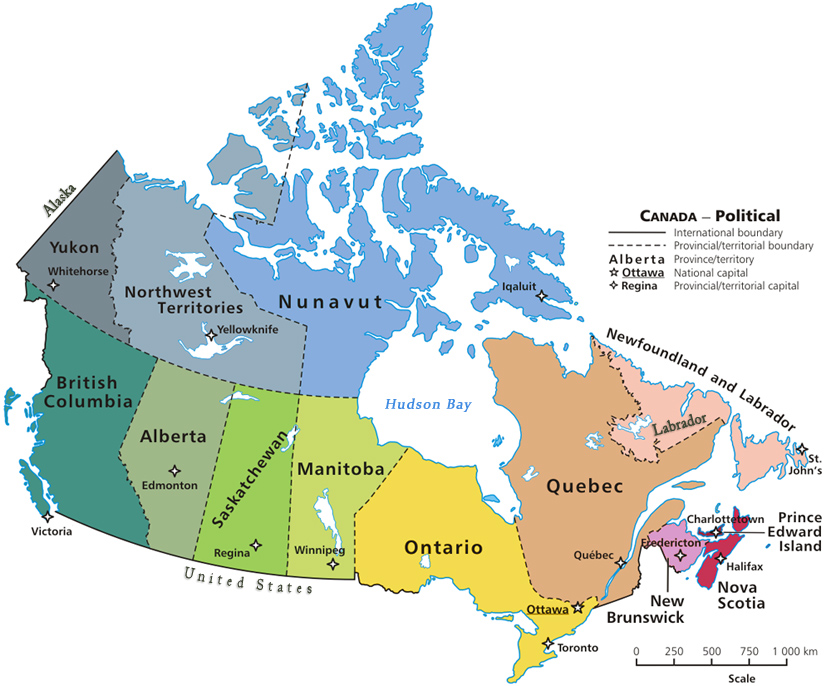
Maps of Canada
Source (edited): Public domain / Wikipedia