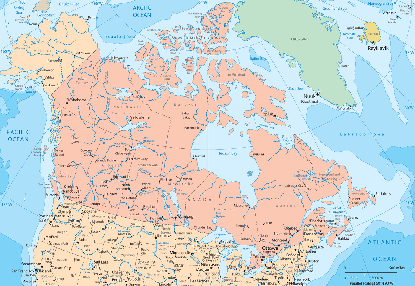
Political Map of Canada
More: Images of Canada ►
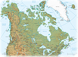
◄ Physical Map of Canada
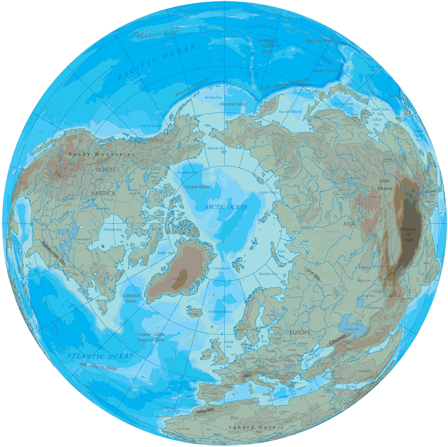
Arctic Region
Copyright © Geographic Guide - Maps World, North America.
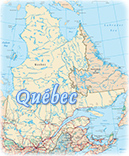
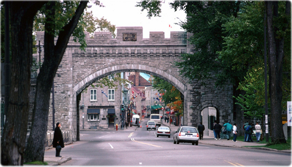
Quebec City, Grande-Alle Street.