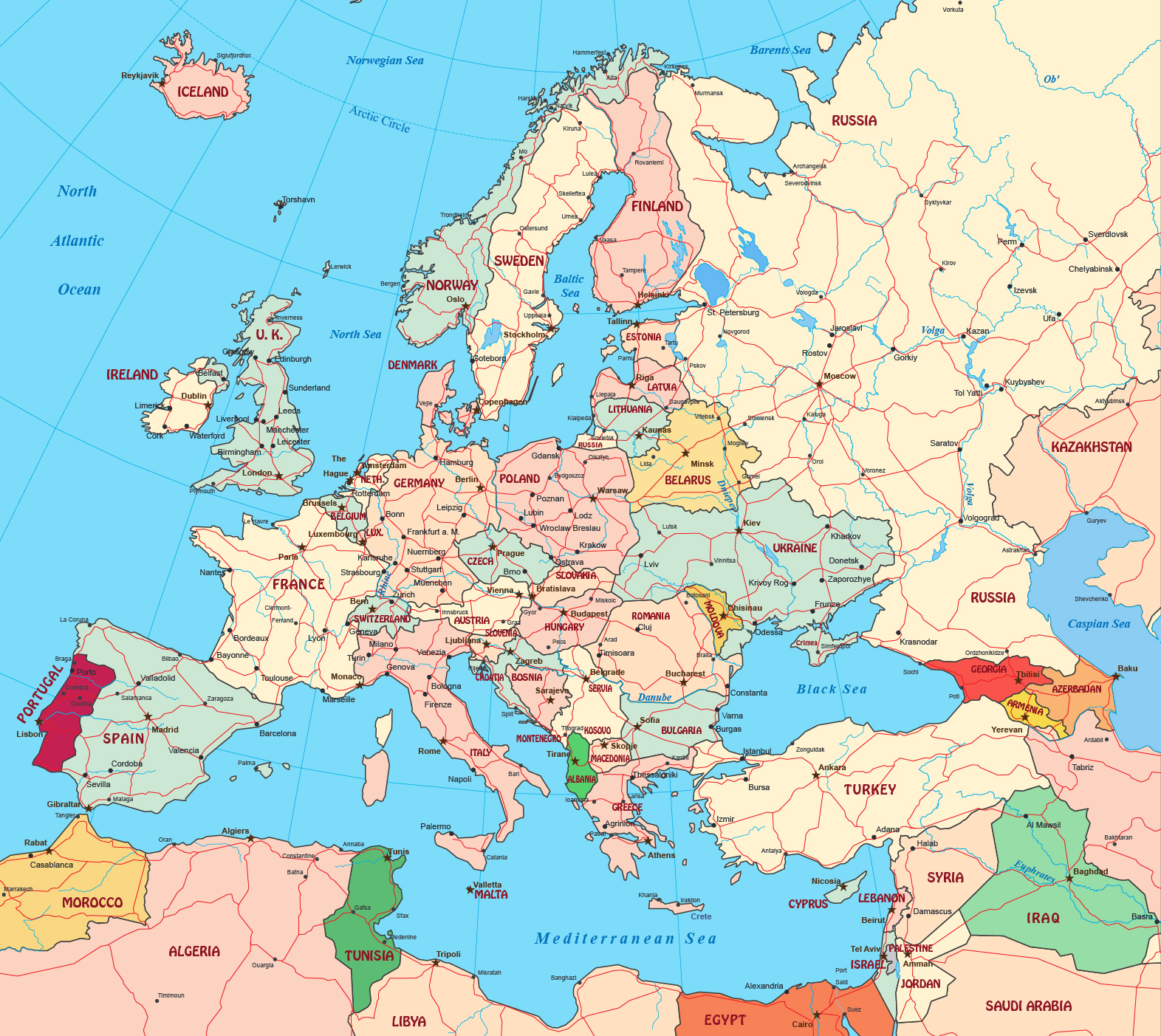
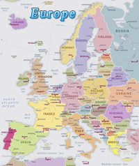
Political Map of Europe
Europe is a geographical region of the world, commonly considered to a continent on the basis of historical and geopolitical factors. It is the only continent located entirely in the Northern Hemisphere. It constitutes the western end of the supercontinent Eurasia. Some places of interest: Paris, France, Moldova and Slovakia. Cities of Stockholm (Sweden), The Hague (Netherlands) and Oslo (Norway).
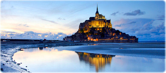
Mont Saint Michel, in the Normandy Coast, France.

|
Copyright © Geographic Guide - Maps World. European Continent. |

Political Map of Europe