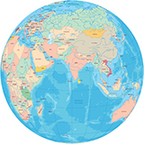
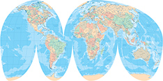
World Map - Mollweide Projection - Asia
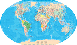
Copyright © Geographic Guide - Maps World, Mapa Mundi.
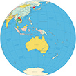
◄ Maps of World