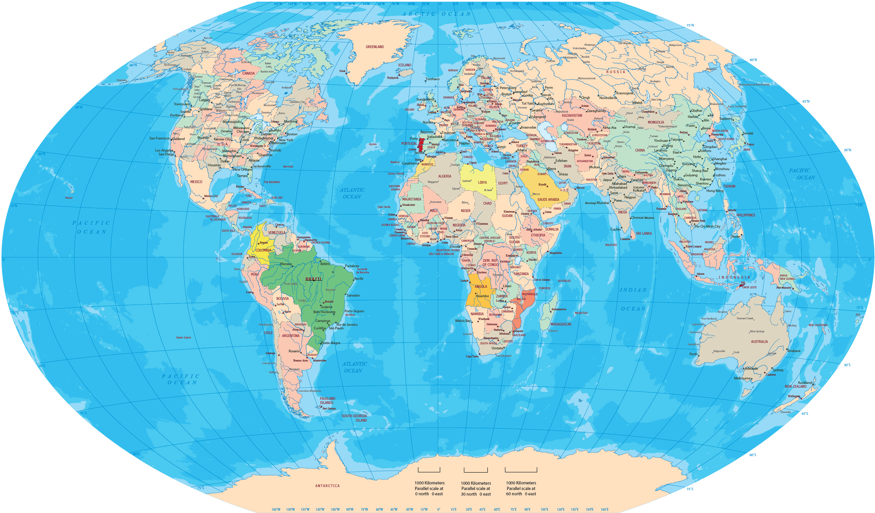
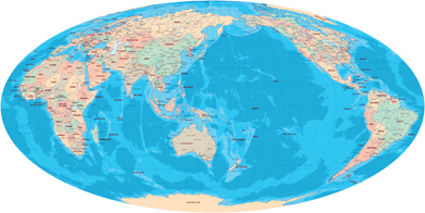
World Map - Winkel Tripel Projection
◄ World Maps
Copyright © Geographic Guide - Maps World, Mapa Mundi.
All rights reserved