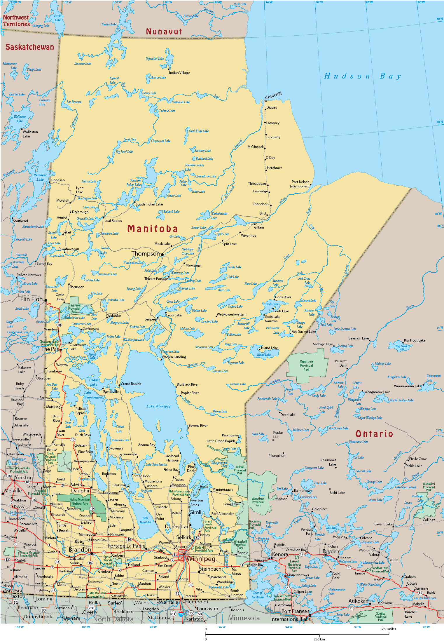
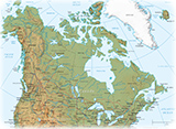
Map of the Province of Manitoba - Canada
Manitoba is the fifth-most populous Canadian province. It has a widely varied landscape, from arctic tundra and the Hudson Bay coastline in the north to dense boreal forest, large freshwater lakes, and prairie grassland in the central and southern regions.
The state capital and largest city is Winnipeg. On the edge of the Arctic, Churchill is known as the polar bear capital of the world and is a world-class destination for wildlife viewing.
Manitoba is bordered by the provinces of Ontario (east) and Saskatchewan (west), the territory of Nunavut to the north, and the US states of North Dakota and Minnesota to the south. Manitoba is part of the Hudson Bay drainage basin, with a high volume of the water draining into Lake Winnipeg and then north down the Nelson River into Hudson Bay.
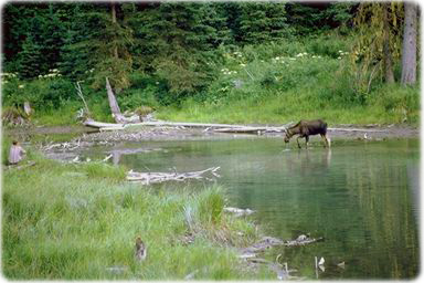
Moose habitat, Riding Mountain, Manitoba.
|
Copyright © Geographic Guide - Maps World, Maps of Canada. |
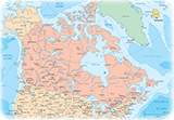
Map of the Province of Manitoba - Canada