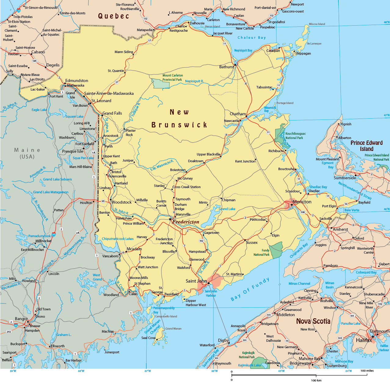
Map of New Brunswick - Province of Canada
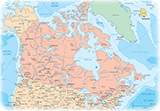
New Brunswick is one of Canada’s four Atlantic provinces. It borders Quebec, Nova Scotia and the State of Maine, United States. The New Brunswick territory is about 83% forested and its northern half is occupied by the Appalachians. Glaciation has left much of New Brunswick's uplands with only shallow, acidic soils which have discouraged settlement but which are home to enormous forests. The rivers of New Brunswick drain into either the Gulf of Saint Lawrence to the east or the Bay of Fundy to the south. The highest point in the province is Mount Carleton, 817 m (2,680 ft).
The province has fifteen counties, which served as upper-tier municipalities until the municipal reforms of 1966. While county governments have been abolished in New Brunswick, counties continue to be used as census divisions by Statistics Canada, and as an organizational unit, along with parishes, for registration of real-estate and its taxation.

Fredericton, capital of New Brunswick and the Saint John River.


Map of New Brunswick - Province of Canada
|
Copyright © Geographic Guide - Maps World, Maps of Canada. |